


Instructor: Jun Sunseri
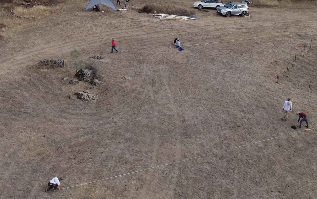
This workshop focuses on using quadrangles and the Brunton Field Transit to navigate landscapes or set up a site grid.
These techniques were well-developed prior to the era of GNSS (GPS) and they remain important in a variety of ways. Archaeologists should be familiar with methods that complement or supplement GPS-based methods. There are situations where GPS performance is poor such as when one is mapping under dense trees, indoors, or in rock shelters.
The local 1:24,000 "Quad" is available from the USGS
See Hester and Feder 2009 Field Methods in Archaeology (PDF) pp198-234 for field mapping techniques making use of a high precision compass
A PDF of the Brunton Field Transit user manual is available.
Attachments: