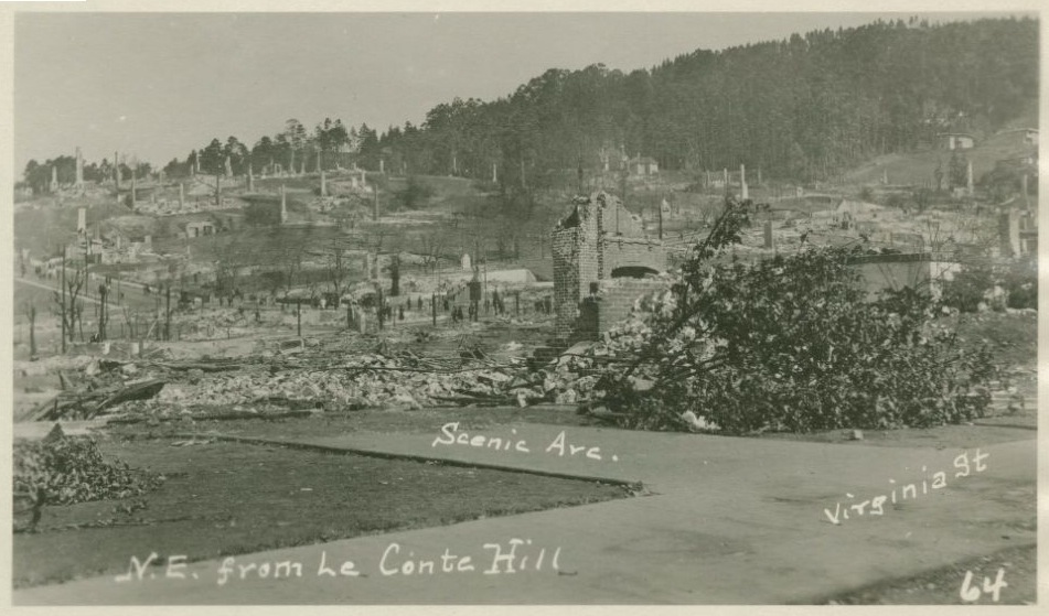
One hundred years after the Berkeley Fire on the Northside on Sept 17 1923 this dynamic map shows a number of historically theme layers relevant to exploring the legacy of the fire using mobile mapping.
Dynamic Map of the Area Burned in 1923
The map highlights a change in architecture that occurred after the fire. Berkeley was known for brown shingle with shake roofs, the more fire resistant stucco with tile roof design were common over after the fire.
The map is best viewed on a mobile device (phone or tablet) with GPS capability. Click this ![]() icon on the left for Current GPS position on a mobile device.
icon on the left for Current GPS position on a mobile device.
Load this path on mobile device browser
Point to https://arf-berkeley.github.io/1923-Fire/map/
This map was created using open source software. Credit to QGIS, QGIS2Web, and Leaflet. For more information on how this QGIS Leaflet project was put together I recorded this 20 min "How To" videoBuilding the Berkeley Fire 1923 Leaflet map.
For details about the fire and the lessons for averting a similar disaster today, see the recent series of stories in the Berkeleyside
Part 1 tells the story of the day of the fire and the days immediately after.
Part 2 explores the aftermath of the fire, including how it informed the city’s new water system.
Part 3 focuses on how firefighting has changed in the last 100 years.


