


This page links to Berkeley history mapping projects that work well in a mobile browser when walking around UC Berkeley and the adjacent neighborhoods.
The map is best viewed on a mobile device (phone or tablet) with GPS capability. Click this ![]() icon on the left and allow permissions for showing current GPS position on a mobile device.
icon on the left and allow permissions for showing current GPS position on a mobile device.
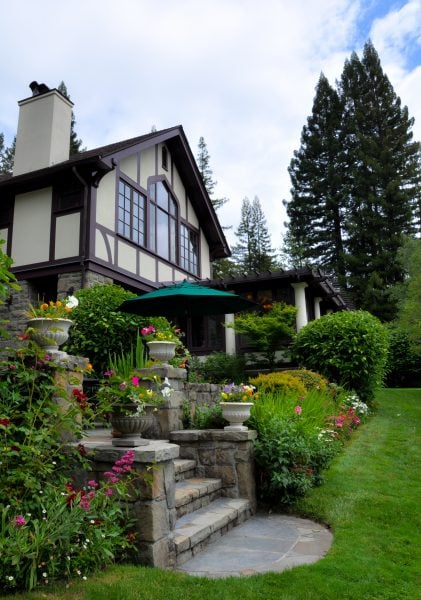
- Julia Morgan Projects Map - Mobile browser map showing 255 buildings by J. Morgan from the LandmarksCalifornia.org
- Berkeley Fire of 1923 Map - Mobile map showing the border of the 1923 North Berkeley fire and architectural changes that followed. More Information
- Berkeleyana Map - Mobile map showing points from the Berkeley Architectural History Association
The ARF Github page has additional information.