Berkeley 1923 Fire Map
One hundred years after the Berkeley Fire on the Northside on Sept 17 1923 this dynamic map shows a number of historically theme layers relevant to exploring the legacy of the fire using mobile mapping.
Dynamic Map of the Area Burned in 1923
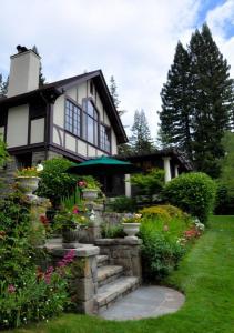
The map highlights a change in architecture that occurred after the fire. Berkeley was known for brown shingle with shake roofs, the more fire resistant stucco with tile roof design were common over after the fire.