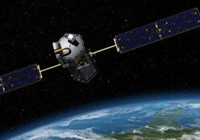
Archaeology of space involves human activity that occurs actually in space or that occurs on Earth but that is directed at space.
In this SAPIENS article Anthropologists in Outer Space, you can watch a TED talk in which Alice Gorman (Flinders University), a leading scholar in the field of space archaeology, explains how the stuff we think of as useless “space junk” actually has value as part of our cultural heritage.
More work from Alice Gorman comes from her collaboration with Justin Walsh (Chapman University) on The International Space Station Archaeology Project ("boldly going where no archaeologists have gone before"). This is the first archaeological study of a space habitat that uses millions of images of life on board the International Space Station to "understand evolving cultural, social, and material structures in the ISS’s unique context." Check out this talk by Justin Walsh about archaeology in space (27 minute talk with 10 minutes of interesting Q&A) and a brief blog post he wrote about the ISSAP project.
Archaeology from space involves using imagery taken from space, such as satellite images, to study archaeological sites. Univ. of Alabama archaeologist Sarah Parcak (see this 5-minute video for an introduction to her work), who used her $1 million TED prize to develop a "citizen science" platform called GlobalXplorer, has been featured in the news quite a bit over the past few years. Here's a piece from NPR about her work and how you can get involved: Space Archaeologist Wants Citizen Scientists To Identify Archaeological Looting
For more about using satellite images to monitor looting, check out this hour-long lecture by archaeologist Jesse Casana (Dartmouth): Satellite Monitoring of Archaeological Damage and Looting in the Syrian Civil War
Archaeologist Graham Philip (Durham Univ.) has also made use of declassified spy satellite images and discusses their uses in landscape archaeology in his work in the Middle East in this 12-minute video.
Here's a video featuring archaeologist Thomas Garrison (Ithaca College) and his team using LIDAR to research Mayan structures, roads, buildings, and reservoirs in Guatemala (18-minute video interview).
To wrap up, here is an interesting contribution to SAPIENS by Chris Fisher, an archaeologist at Colorado State University: Why the Earth Must be Mapped This piece argues for the urgent need to digitally capture the planet’s surface, providing a record for future ecologists, archaeologists, and historians.
Live long and prosper.


