


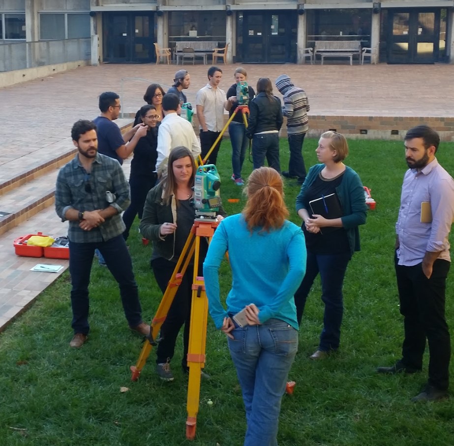
The ARF Total Station mapping workshop meets in the ARF Atrium space in 2251 College Building or at an outdoor space nearby. The workshop currently focuses on the ARF's three Sokkia SET 530r3 total stations following our "How to" mapping walk through.
For preparation students are asked to read the introductory section of Traversing the Past by English Heritage.
We begin by discussing the advantages and disadvantages of total station vs GNSS mapping, and then move on to introducing relative mapping from a datum and using vertical offsets (instrument height and target height).
Next we move on to physically setting up and leveling a total station. We then connect and learn to use the tablet controller software Magnet Field. Students learn to take points both with and without a reflector.
Finally the class learns to save out and export to CSV file for import into mapping software such as QGIS.
For a follow-up to this workshop see the ARF Archaeological Site Mapping in QGIS workshop.