


02-25-2022 Archaeological Career Opportunities with Agencies: A Panel Discussion

A virtual panel discussion about archaeological opportunities in public agencies.
MODERATOR: William A. White, III, Assistant Professor, Anthropology, UC Berkeley
A virtual panel discussion about archaeological opportunities in public agencies.
MODERATOR: William A. White, III, Assistant Professor, Anthropology, UC Berkeley
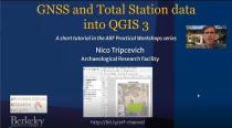
Part 1. Importing data from GNSS
This video is part of a Two Part series.
In Part 1 (https://youtu.be/ik00P5_LNks) we imported data from a GNSS unit into QGIS in preparation for mapping.
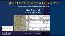
In this tutorial we georeference a 1928 Sanborn historical insurance map and then locate the corresponding 1950 US Census data for the study area. After digitizing or tracing a structure from the 1928 map into a polygon layer we then data from the census to the GIS attribute form.
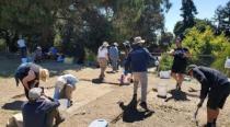
The ARF Field School Video
Cinematographer & Editor: Minh Anh Van
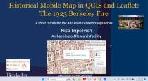
ARF Practical Workshop. In this video I describe assembling data to create a web mobile using the Leaflet JS library.
Direct link to webmap
https://arf-berkeley.github.io/1923-Fire/map/
Black + Archaeology: Being a Member of the Society of Black Archaeologists in 2025 and Beyond
Speaker: William A. White, III
Associate Professor, Anthropology
University of California, Berkeley
Black + Archaeology: Being a Member of the Society of Black Archaeologists in 2025 and Beyond
Speaker: William A. White, III
Associate Professor, Anthropology
University of California, Berkeley